
The French motorway network overlays two financing logics that most mapping tools treat identically: the toll roads, operated by private companies that collect tolls, and the non-toll roads, funded by the state or local authorities and therefore free. Confusing the two on a map distorts any calculations of route, budget, and travel time.
Non-toll roads and free sections: the network that traditional maps obscure
The A75 between Clermont-Ferrand and Béziers, the A84 connecting Caen to Rennes, and large portions of urban bypasses generate no toll fees. These non-toll motorways offer a level of service comparable to paid roads (two lanes in each direction, central separation, rest areas), but their free status makes them strategic for long-distance trips on a tight budget.
We recommend systematically cross-referencing the reading of a map of French motorways with concession data. A route from Clermont-Ferrand to the Mediterranean via the A75 and then the free section of the A9 drastically reduces costs compared to the classic A6/A7, with travel times often comparable outside of the summer peak.
Identifying non-toll sections changes the game for long trips. Tools like ViaMichelin or Mappy now include a “avoid tolls” filter, but this sometimes redirects to slow national roads instead of prioritizing free motorways. Manually checking the concession status remains the most reliable method.
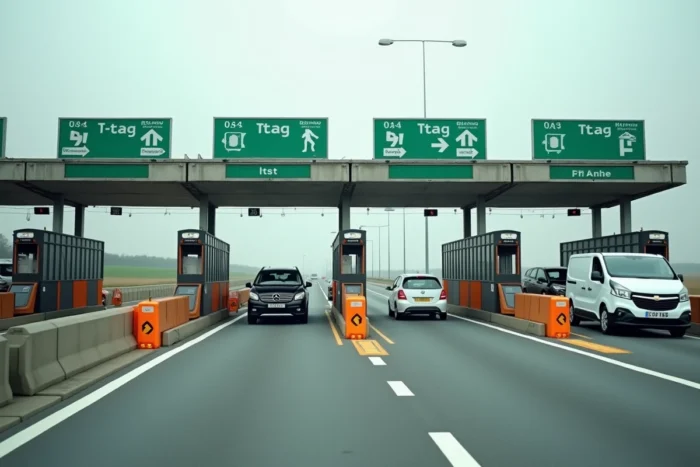
Free-flow toll: payment deadlines and surcharge risks
Free-flow eliminates physical barriers but imposes a strict payment framework. On equipped sections (A79, certain stretches of the A13), gantries read license plates or toll badges. Without a badge, the driver has a 72-hour window to pay online or at an authorized payment point. After this period, surcharges accumulate quickly.
This system confuses occasional drivers and foreign vehicles. The absence of a visible toll booth gives the illusion of a free section. We observe that the gradual generalization of free-flow makes the toll badge almost indispensable, not for comfort but for legal and financial security.
Which badge to choose for free-flow coverage
The main issuers (Ulys, Bip&Go, Vinci) cover the entire concession network, including free-flow sections. The choice criterion revolves around the monthly subscription, activation fees, and compatibility with foreign networks (Spain, Portugal, Italy). A driver who uses the motorway only a few times a year should compare the annual cost of the badge with the risk of surcharges on a single forgotten free-flow section.
Service areas and rest areas: selection criteria for a useful stop
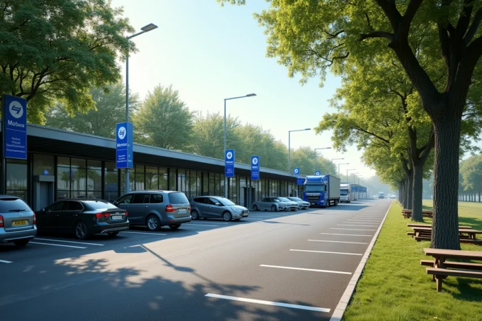
Not all areas are equal, and the distinction between rest areas and service areas determines what you will find there. The former offer parking, restrooms, and sometimes picnic tables. The latter add fuel, dining, and sometimes fast charging stations for electric vehicles.
Recent route planning tools combine area locations, fuel costs, and availability of charging stations, allowing for planning a stop based on specific criteria rather than stopping randomly. For an electric vehicle, the presence of a fast charger at a given area determines the entire route of the trip.
- Family areas: shaded picnic tables, children’s play areas, accessible restrooms. The labeled areas on the A7 (like Montélimar Ouest) or the A10 concentrate these facilities.
- Electric charging areas: operators like Fastned, Ionity, or TotalEnergies deploy high-power chargers on major routes. Checking the available power (and not just the presence of a charger) avoids unpleasant surprises.
- Low-cost areas: some rest areas without a gas station allow for a free stop, without the markup of motorway dining. They are often less crowded during peak hours.
Alternative routes and structuring national roads
Two-lane national roads, inherently free, constitute an underutilized parallel network. The historic RN7 or the RN10 towards Bordeaux remain credible alternatives outside of major departure periods, with extended travel times but no cost.
In the event of the closure of a major route, alternative routes become the only viable option. Recent episodes of the A6 closure (forest fire in Île-de-France) have shown that motorists without a prepared alternative route find themselves trapped in massive congestion on secondary roads ill-suited for the redirected flow.
We recommend systematically preparing a fallback route before each summer departure. The ViaMichelin and Mappy apps allow you to save a main route and an alternative route. Consulting traffic forecasts from Bison Futé and the webcams available on autoroutes.fr or on the APRR site helps to make real-time decisions between the toll motorway and the free national road.
Optimizing the overall cost of a Paris-Mediterranean trip
The toll cost on a Paris-Marseille route via A6/A7 far exceeds the symbolic threshold that most drivers anticipate. Adding tolls, fuel, and potential dining stops at service areas gives a trip budget that justifies a real comparison with the free A75, the train, or even carpooling.
- Calculate the toll + fuel cost on two distinct routes before leaving, not just the travel time.
- Include the annual toll badge cost in the calculation if you only use the motorway occasionally.
- Compare the additional cost of a hotel night en route (split itinerary) with the total cost of a direct trip via the toll motorway.
The cross-referencing of a detailed motorway map, updated toll rates, and traffic forecasts remains the only reliable way to choose a route that holds up, both literally and financially. Preparing two routes before each departure, one paid and one free, protects against the unexpected and provides a concrete decision-making lever on the day.